GNSS
E300 Pro
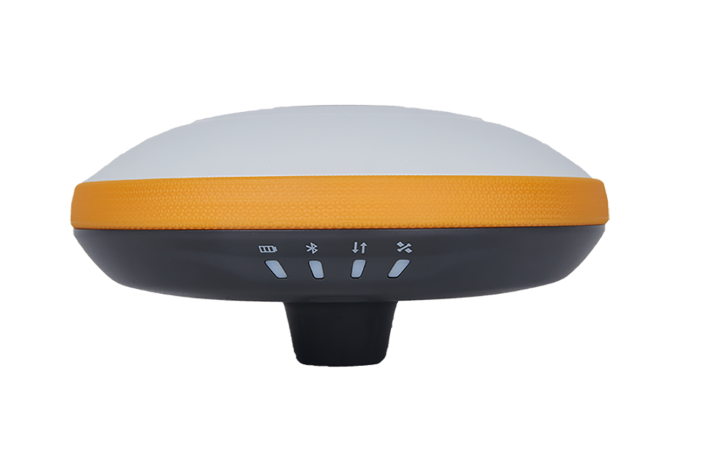
E300 Pro is a compact GNSS receiver that tracks all constellations and satellites, with a four-in-one antenna for stable data transmission, making it perfect for all surveying needs.

E300 Pro is a compact GNSS receiver that tracks all constellations and satellites, with a four-in-one antenna for stable data transmission, making it perfect for all surveying needs.


Effortlessly track your device’s battery level in real-time, ensuring uninterrupted usage and providing an accurate estimate of remaining work time, safeguarding against any potential data loss.

Experience the power of a fully equipped GNSS receiver with the E300 Pro’s compact and innovative design. The built-in transceiver radio modem allows seamless operation as a base or rover station, offering unmatched flexibility and portability for all your surveying needs.

The E300 Pro offers unparalleled precision in field data collection with its ability to track all GNSS signals, including GPS, BDS, GLONASS, GALILEO, QZSS, SBAS, L-Band, and NavIC.
Rest assured that the device will withstand rough handling with its rugged design. Built to last for years, this device is constructed with materials that provide better resistance to shock and falls, ensuring its durability in even the harshest environments.
Work without interruption even when RTK corrections fail, powered by our RTK aid function.
Lorem ipsum dolor sit amet, consectetur adipiscing elit. Nullam condimentum arcu quis est cursus, et vehicula mauris mattis. Maecenas ultrices feugiat tellus non accumsan.
Satellites tracking
Channels: 1408
Cold start: < 30 seconds
Warm start: < 20 seconds
Hot start: < 5 seconds
RTK signal initialization: < 5 seconds
Initialization reliability: > 99.9%
Update rate: 20 Hz
High precision static: H: 2.5 mm + 0.1 ppm RMS V: 3.5 mm + 0.4 ppm RMS
Static and Fast Static: H: 3 mm + 0.5 ppm RMS V: 5 mm + 0.4 ppm RMS
RTK: H: 5 mm + 0.5 ppm RMS V: 10 mm+0.5 ppm RMS
Standard point positioning: H: 1.5 m RMS V: 2.5 m RMS
Code differential: H: 0.4 m RMS V: 0.8 m RMS
SBAS: H: 0.3 m RMS V: 0.6 m RMS
Correction data: RTCM V3.X, RTCM2, CMR
Data output: GGA, ZDA, GSA, GSV, GST, VTG, RMC, GLL, Binary
Supported band: Global 4G